

About the Project
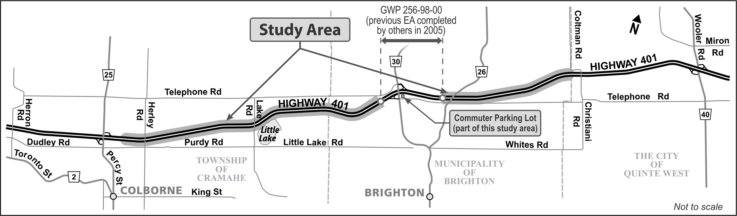
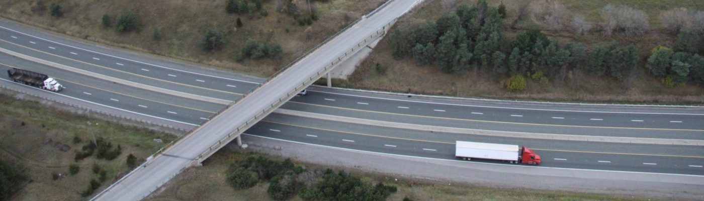
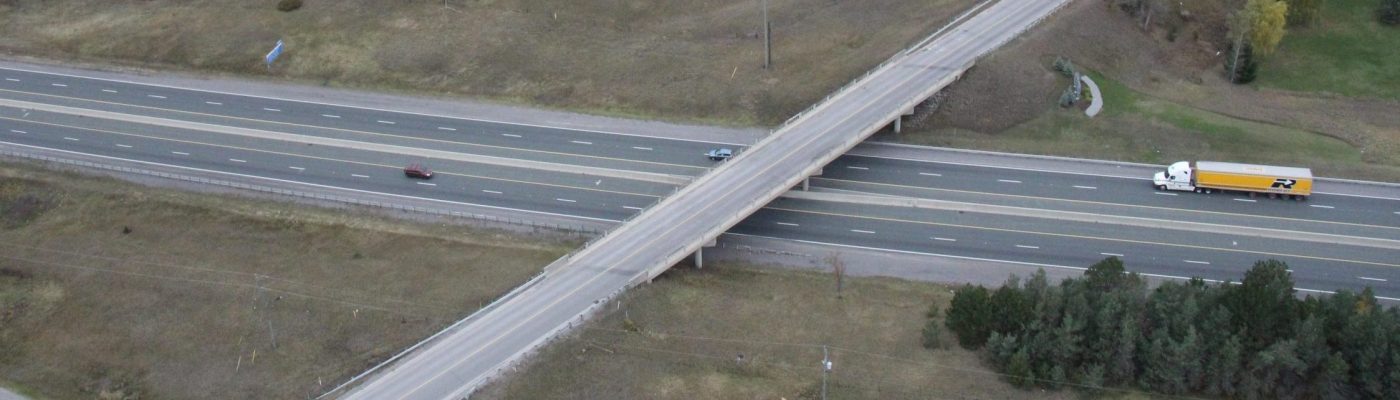
This Planning, Preliminary Design and Class EA Study included the replacement and rehabilitation of bridges and structural culverts, establishing the future Highway 401 footprint for an interim six lanes and ultimate eight lanes to address current and future transportation needs, and commuter parking lot improvements from 0.8 km east of Percy Street to 0.4 km west of Christiani Road. The approximate length of the study area is 16 km. The improvements include replacement/rehabilitation of seven existing structures, including:
- Hwy 401 Herley Road Underpass (Site No. 21-294);
- Hwy 401 Lake Road Underpass (Site No. 21-295);
- Hwy 401 County Road 26 Underpass (Site No. 21.297);
- Culvert, 5 km west of County Road 30 (Site No. 21-471/C);
- Culvert, 4.5 km west of County Road 30 (Site No. 21-472/C);
- Culvert, 4 km west of County Road 30 (Site No. 21-473/C); and
- Culvert, 3 km west of County Road 30 (Site No. 21-474/C).
The purpose of the study was to identify a Recommended Plan that addresses current and future transportation needs in the study area as part of the Ministry’s ongoing review of safety and operational needs for the provincial highway network.